Summer Newsletter - June 2026
Joseph Shingleton presenting at GeoAI. The Geospatial Data Science Group standing on the oldest part of the University of Glasgow.

The Geospatial Data Science Group (GDSG) at The University of Glasgow’s School of Geographical & Earth Sciences operates at the…
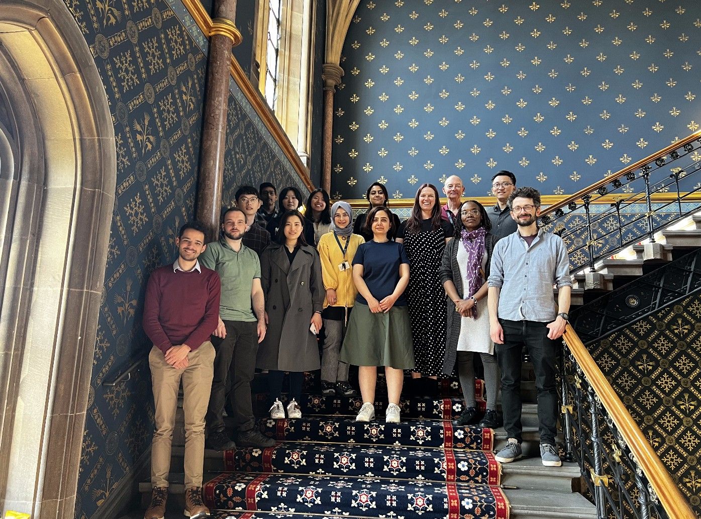
Joseph Shingleton presenting at GeoAI. The Geospatial Data Science Group standing on the oldest part of the University of Glasgow.
Guest Speaker Haosheng Huang presenting James Ackland on BBC Scotland Artificial Intelligence in Academia Debate Meiliu Wu Presenting Merve Polat…