
Summer Newsletter - June 2026

Geospatial Data Science Group Newsletter – June 2026
School of Geographical & Earth Sciences | University of Glasgow
Q2 2026
👋 Welcome Note
Dear colleagues, collaborators, and friends,
With the start of the summer in full swing, the Geospatial Data Science Group is entering one of its most productive stretches of the year. The pace of 2026 has already been impressive, with new research, collaborations and public‑facing work taking shape across the team. From standout conference activity to recognised publications and emerging interdisciplinary projects, our community continues to expand the reach of geospatial data science.
Thank you continuing to be a part of it!
— The GDSG Communications Team
🛰️ Research Highlights
• Fund Recipient: Scotland-Asia Partnerships Higher Education Research (SAPHIRE) Fund 🌐
In March, Andrew Renninger received a Scotland-Asia Partnerships Higher Education Research (SAPHIRE) Fund. The fund will enable Andrew to pursue the project 'Mobility across scales under climate stress' with colleagues in New Zealand. The RSE’s Research Awards Programme aims to support Scotland’s research sector by nurturing promising talent, stimulating research in Scotland, and promoting international collaboration. Congratulations Andrew!
• Viva Examination: Piet Gerrits
Piet Gerrits presented his Viva in May passing with minor corrections. Congratulations, Piet!
📝 Recent Publications
• GISRUK 2026 publication from Merve Polat Kayali, James Ackland, Dominick Sutton, and Anahid Basiri: "Representing Missing Spatial Data” 🚨
Cartographers often struggle to show missing data clearly, and poor communication can reinforce social and analytical biases. This study tested how people interpret different ways of visualising missingness. Participants preferred some designs, but didn’t reliably link specific visuals to different types of missing data. The research also found notable differences in what various demographic groups considered effective.
• GISRUK 2026 publication from Zahra Mahabadi and Anahid Basiri: "Short Distances Enable Walking Even for Car-Owning Families with Children: Implications for the X-Minute City"🚨
UK households with children walk more when their everyday trips are short, even if they own a car. Using National Travel Survey data, this study finds a strong link between short travel distances and walking across all neighbourhoods and both urban and rural areas. Spatial differences are small, with most variation between households and individual trips. The findings support planning that brings daily destinations closer to encourage walking.
• ArXiv publication from Andrew Renninger: "The benefits and biases of seeing the world’s cities through marathon” 🚨
Marathon routes tend to show off a city rather than reflect it. This study of 311 races across five continents found museums are 15.7 times more common along the course, and the typical city has 8.5 times more luxury brands near the route than elsewhere. Even when routes are adjusted, landmarks still cluster around them, suggesting marathons act as selective portraits of urban life.
• OSF publication from Olena Holubowska and Andrew Renninger: "From exposure to contact: Neighbourhood change,intergroup contact and ethnic attitudes in Aotearoa NewZealand"🚨
Neighbourhood diversity only matters when it leads to real contact. Following 76,253 people over sixteen years in Aotearoa New Zealand, this study shows that as the local share of Māori, Asian, Pacific, or NZ European residents rises, contact with those groups rises too. That contact predicts warmer attitudes, while neighbourhood makeup alone has little direct effect. People do not mix in simple proportion to area demographics either. The findings show that neighbourhoods create opportunities, but everyday routines decide whether exposure becomes interaction.
• Annals of the American Association of Geographers publication from Dominick Sutton, Anahid Basiri, Ziqi Li, Christopher Brunsdon: "Missing Data Can Be a Geographic Phenomenon”🚨
This article examines how missing data, especially on sensitive survey questions, can bias analysis. Using the UK Financial Lives Survey, it reviews theory on missing and spatially missing data and tests whether geography helps explain nonresponse. Applying geographically weighted regression, the study finds clear spatial patterns in who skips demographic and income questions.
• Plos one publication from Petrus J Gerrits, Guy Solomon, M Erdem Kabadayi, Ana Basiri: "Mountain moves: Spatial interaction modelling of Bulgaria’s internal migration (1934-1992)” 🚨
This study examines long‑term internal migration in Bulgaria from 1934–1992, a period marked by steep rural decline and rapid urban growth. Using a harmonised geocoded census dataset that integrates settlement boundaries, population records, road‑network distances and terrain ruggedness, the analysis applies spatial interaction models to estimate migration flows across intercensal periods.
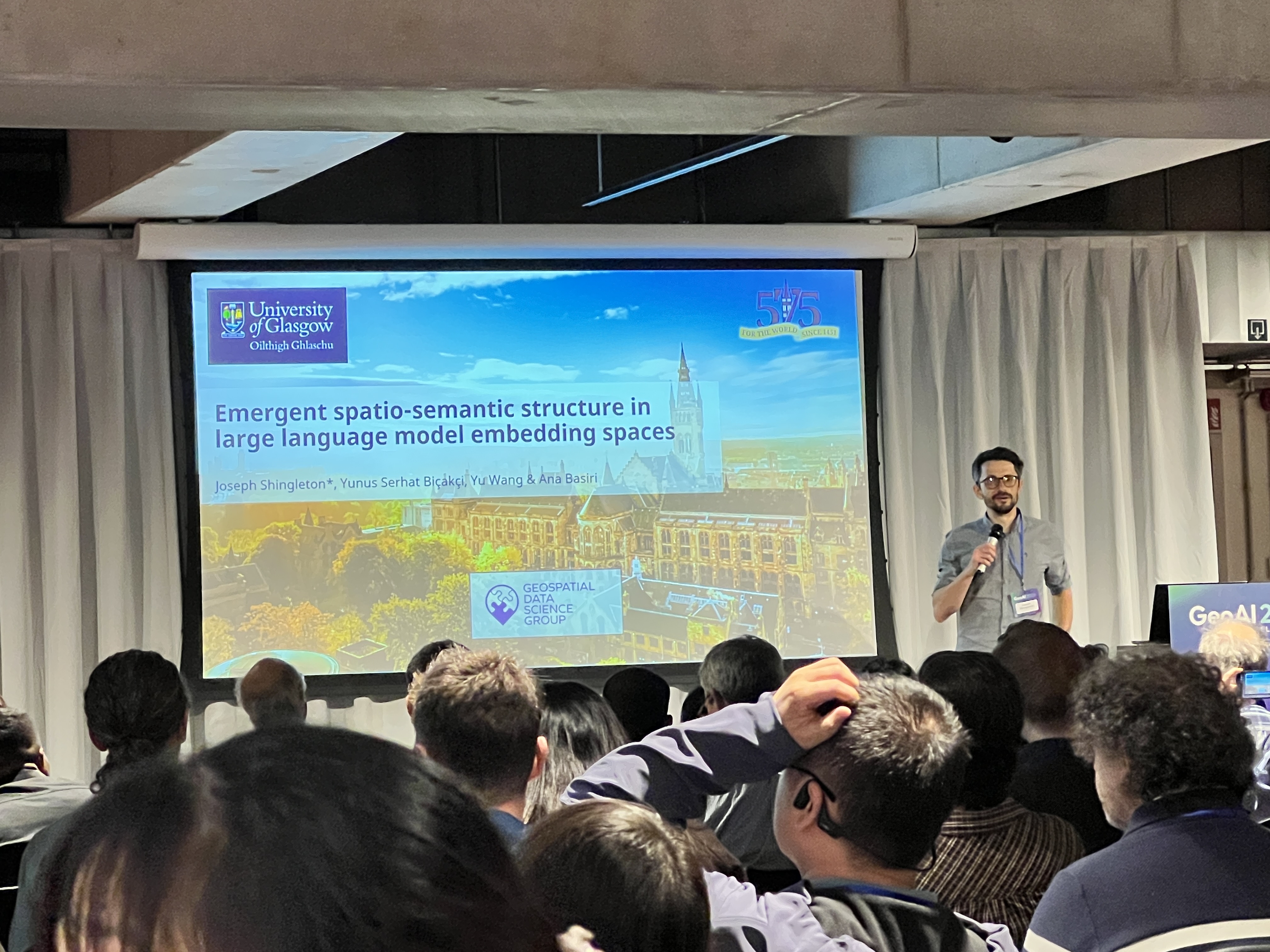
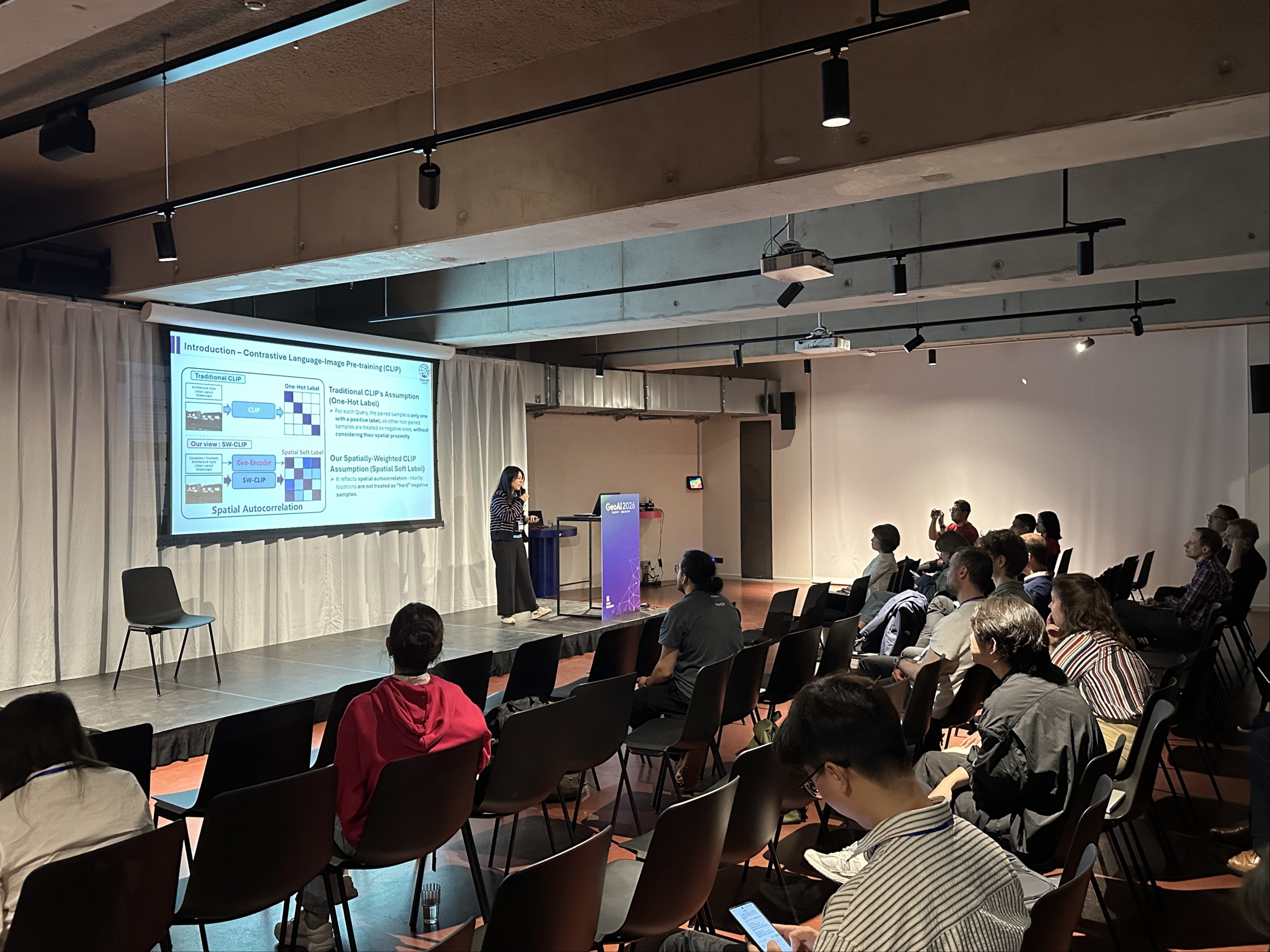
• EarthArXiv publication from Joseph Shingleton, Yunus Serhat Bicakci, Yu Wang, Ana Basiri: “Emergent Spatio-Semantic Structure in Large Language Model Embedding Spaces” 🚨
This study tests whether LLM embeddings can act as geospatial representations rather than just powering text generation. Using embeddings from London Airbnb descriptions, the study finds that off‑the‑shelf models already contain emergent spatial structure. Adding a lightweight geo‑adapter sharpens this signal, enabling rough localisation even with explicit place names removed, while keeping the model’s semantic knowledge intact. The results point toward spatially aware foundation models that operate directly in a spatio‑semantic embedding space, offering an alternative to text‑based geographic reasoning.
• Journal of Learning Development in Higher Education publication from Lydia Bach, Ciorsdaidh Watts, Sarah Henry, Ana Basiri: "Evolving frameworks for responsible and human-centred AI practice in higher education and beyond” 🚨
This letter distils insights from the Lovelace‑Hodgkin Symposium on Responsible AI in education at the University of Glasgow. Across academics, students, staff and industry, discussions centred on how AI is reshaping learning and work, balancing anxiety and opportunity. It highlights the need for frameworks built on agility, trust, transparency and inclusion, and offers guidance for individuals—reflect on AI use, be transparent, keep learning—and for institutions: create safe spaces, link policy to practice, widen access and build an AI ethics ecosystem.
• The International Archives of the Photogrammetry, Remote Sensing and Spatial Information Sciences publication from Dominick Sutton, Merve Polat Kayali, Anahid Basiri: “Age Matters: Demographic-based Perceptions of Included Location Information” 🚨
This study explores how people judge the importance of location information across different contexts and how those judgments shift with demographic factors. Overall, perceptions of location are context‑dependent and vary across groups, suggesting that spatial data should be tailored communication rather than one‑size‑fits‑all.
🌍 Impact & Engagement
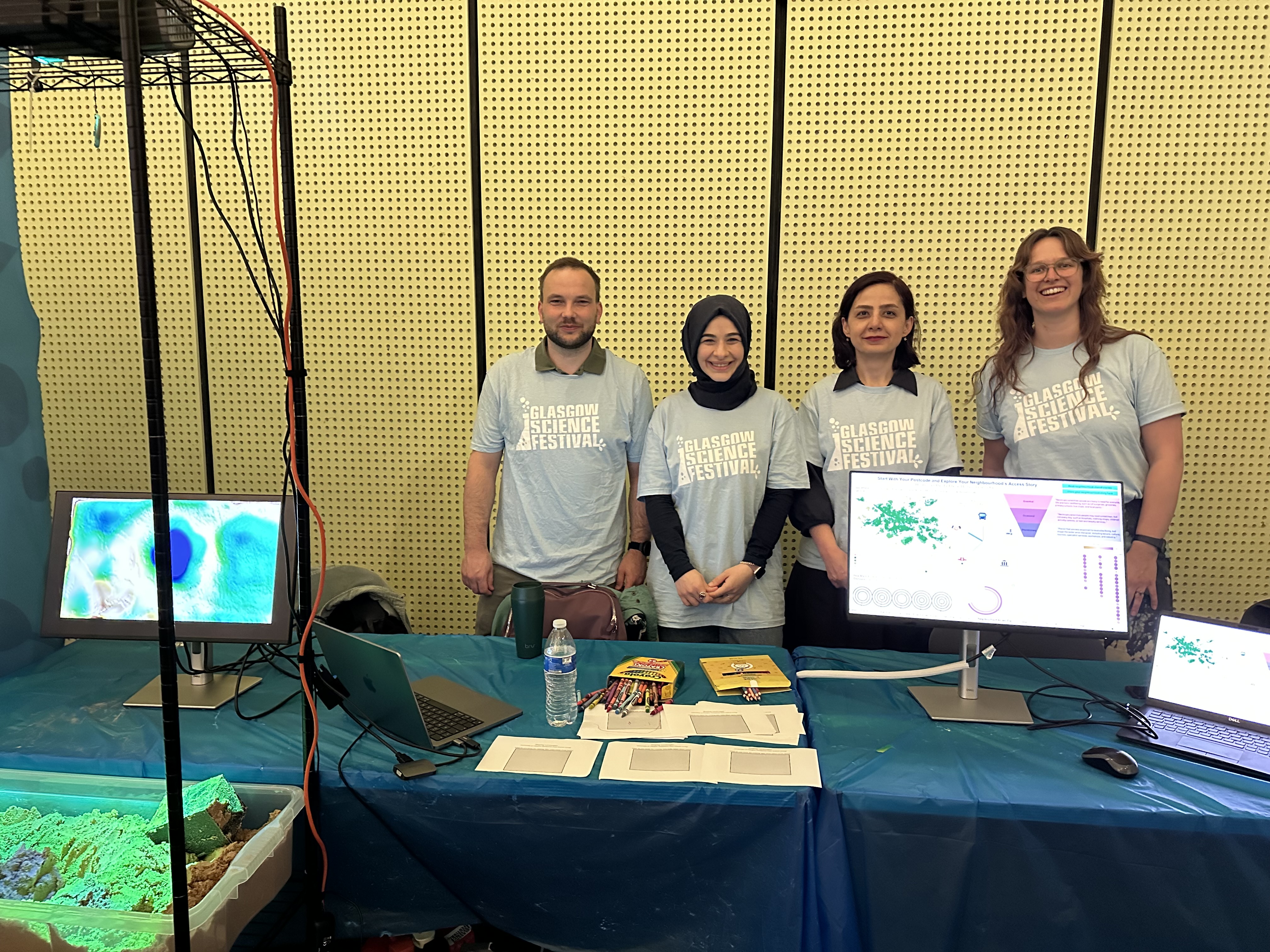
• Interactive Event: Shaping Landscapes, Tracing History ✨
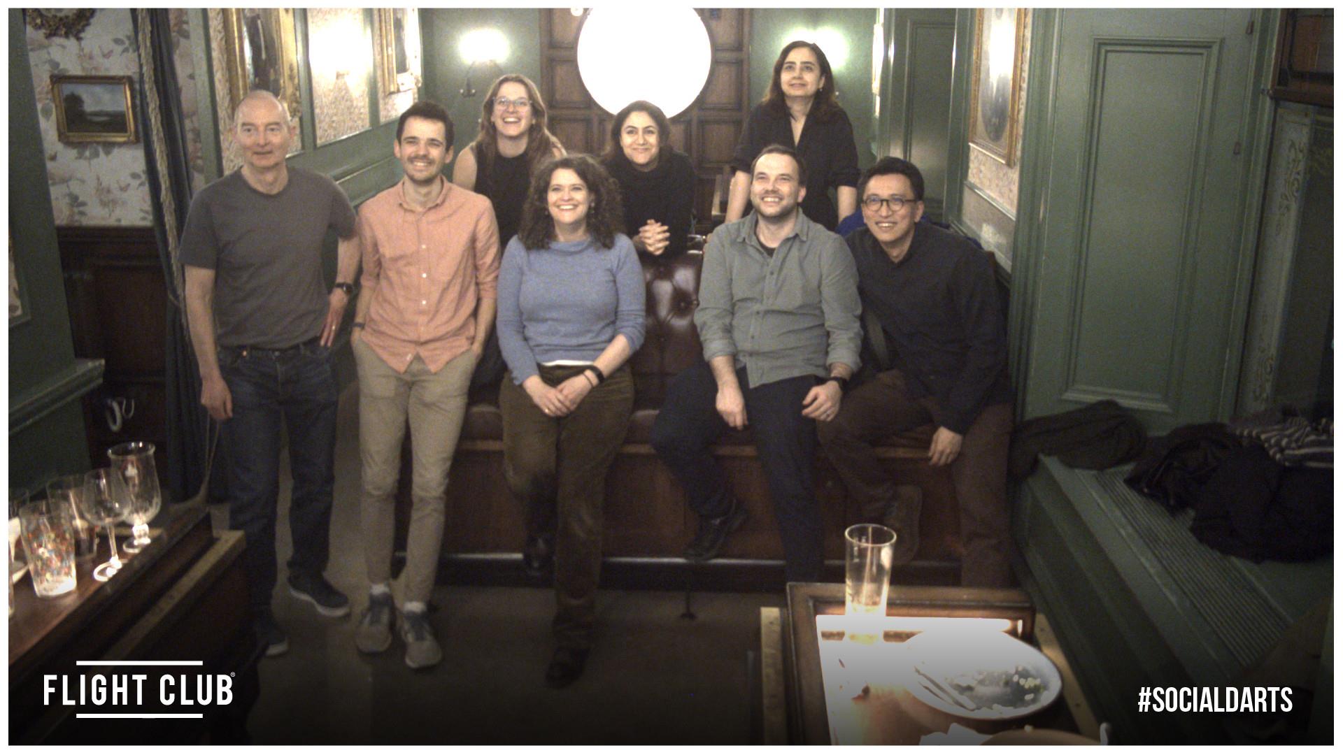
Piet Gerrits, Zahra Mahabadi, Merve Polat Kayali, and Makenna Hopwood worked an interactive outreach event at The Riverside Museum during Glasgow Science Festival. They built maps with sand and compared walkable essential services across Glasgow’s neighbourhoods with enthusiastic members of the public.
• Workshop: Responsible AI Risk Register for RSE (RAIRR) ✨
Joe Shingleton ran an interactive workshop at Software Sustainability Institute's CollabW26 on a community resource for documenting and discussing community-identified risks around generative AI in research software engineering, and how they might be addressed.
• Presentation: “Short Distances Enable Walking Even for Car-Owning Families with Children: Implications for the X-Minute City” ✨
Zahra Mahabadi presenting her research at GISRUK 2026. GISRUK hosts research from across geographic information science, from fundamental research to applications of GIScience across many domains.
• Conference Poster: “Representing Missing Spatial Data”✨
James Ackland and Dominick Sutton presented a poster based on their work with Merve Polat Kayali at the GIRSUK conference in Birmingham. The survey analysis revealed demographic differences in how we perceive missing data on maps, and proposed some recommendations for future best practice in visualising missing data.
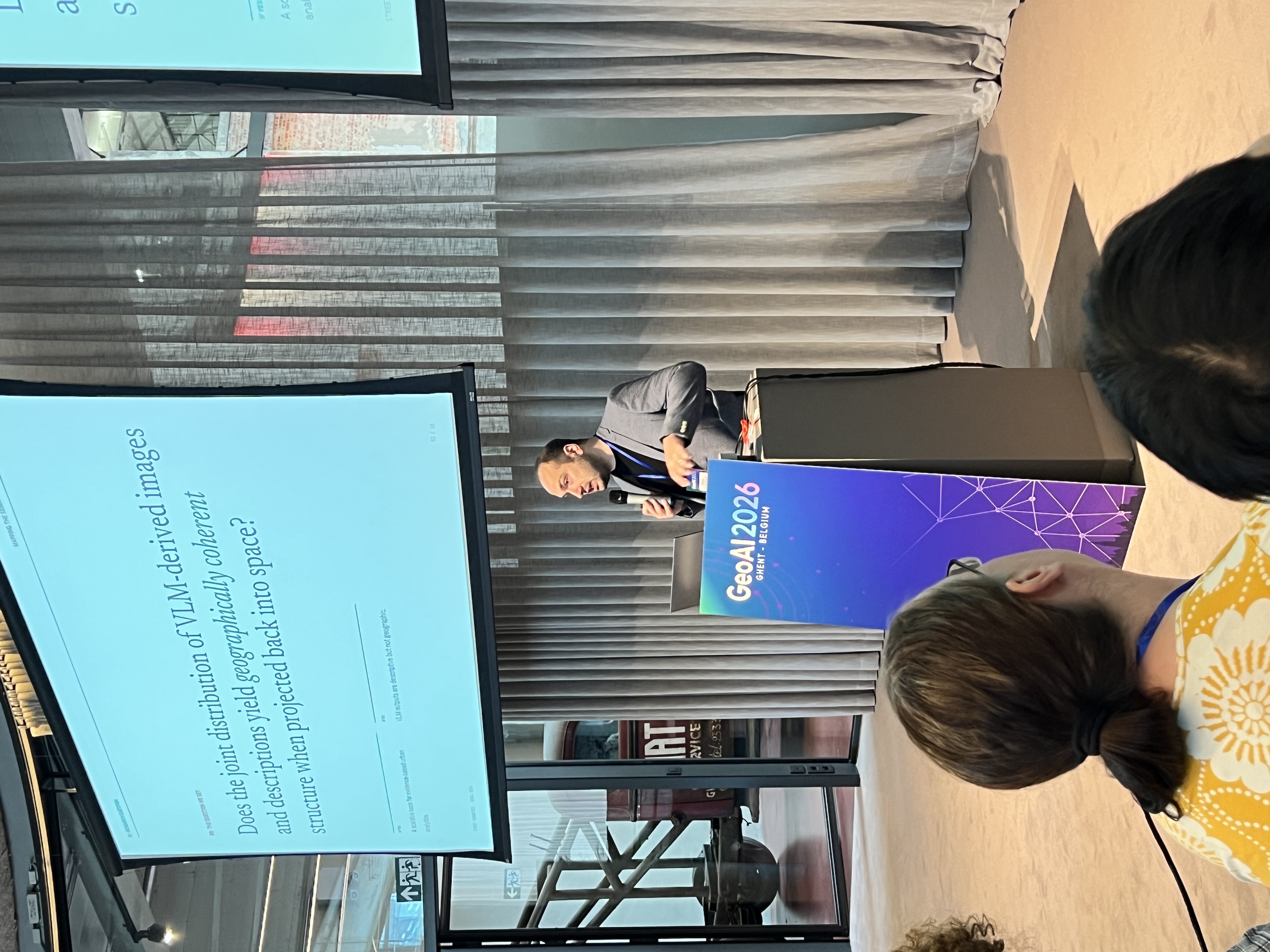
• Presentation: Mapping the Semantics of the Street: A VLM Driven Geospatial Analysis in Faith, Istanbul ✨
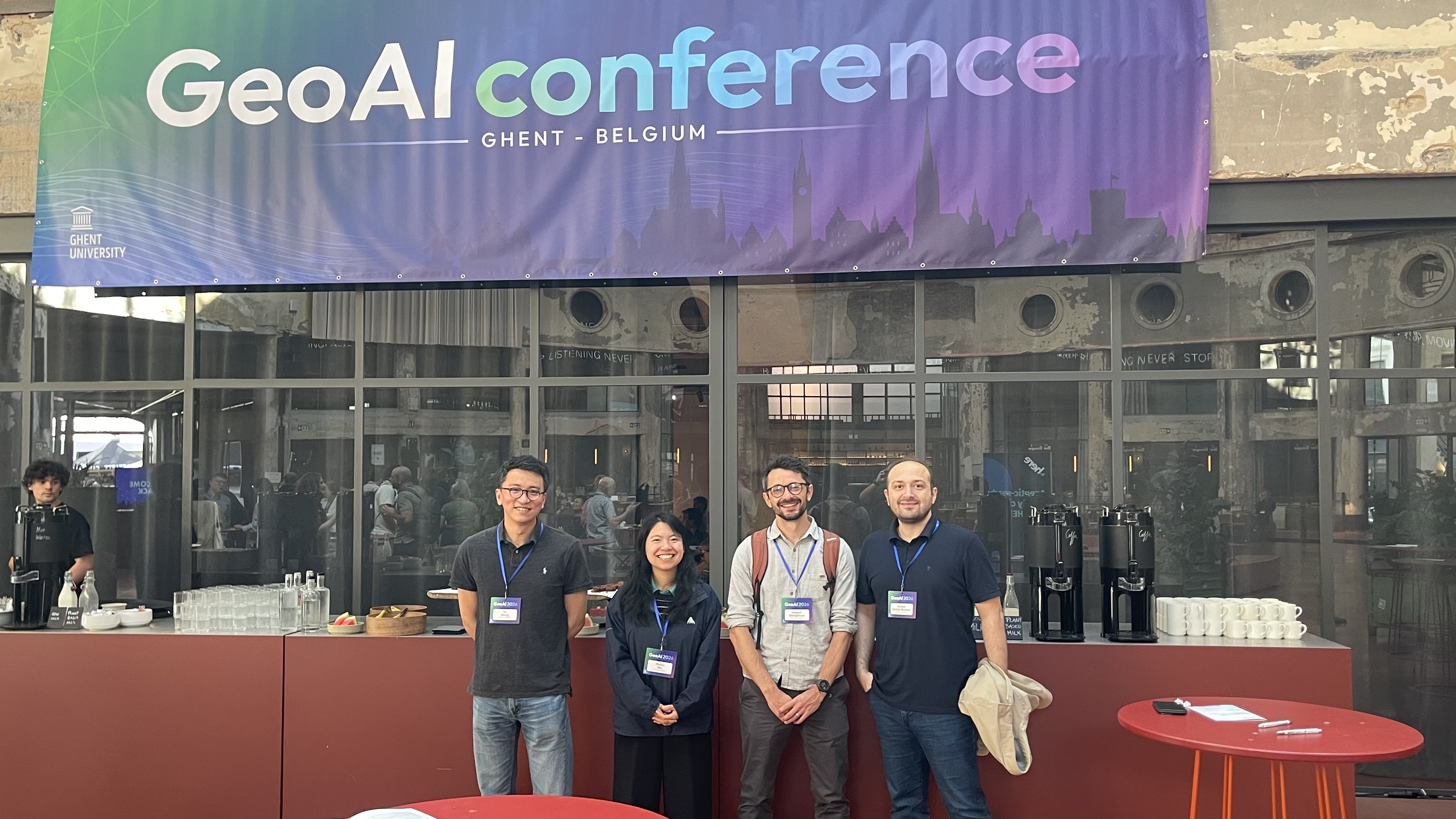
Yunus Serhat Bicakci demonstrated that vision-language models and embedding models can capture and interpret the character of urban environments directly from street-level imagery, without any human intervention at GeoAI 2026. By relying solely on images, he was able to distinguish whether a street belonged to a historic district, a major transportation corridor, or an everyday residential neighbourhood, revealing how contemporary AI models can uncover meaningful urban semantics from street view imagery alone.
• Presentation: Emergent Spatio-Semantic Structure in Large Language Model Embedding Space ✨
Joe Shingleton presented some of the group's recent work on the hidden geographic structure within Large Language Model embedding spaces. The paper shows how such embeddings can be used to efficiently extract detailed geographic information from natural language sources, even when only implicit spatial information is present. Joe will be expanding on this work with his upcoming paper at AGILE 2026, which looks at how similar methods can be used to uncover hidden neighbourhood structure within an urban environment.
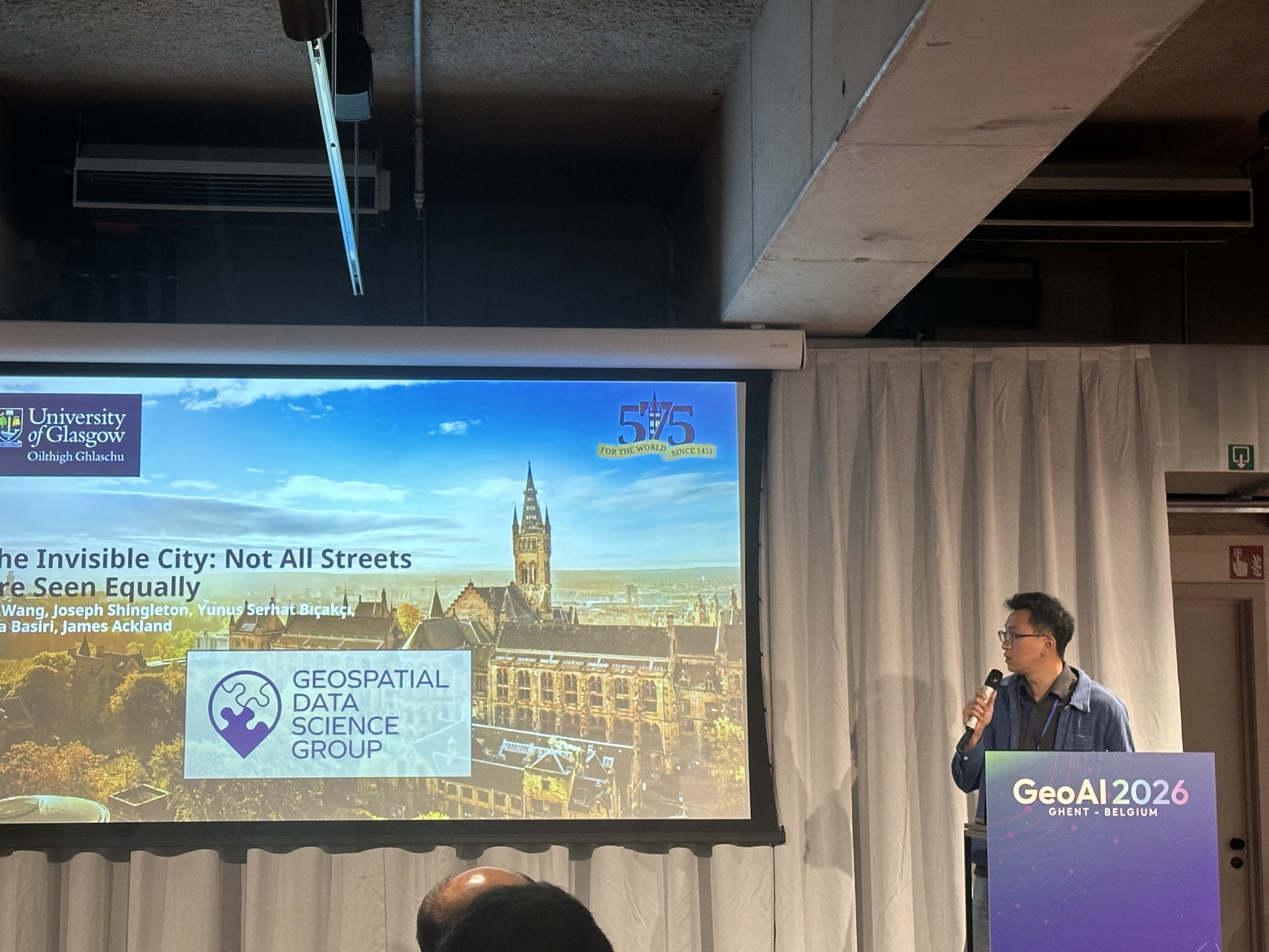
• Presentation: The Invisible City: Not All Streets Are Seen Equally ✨
At the GeoAI Conference, Yu presented his research investigating fairness and representation issues in street-view imagery data. Using Glasgow as a case study, the work explored the inequality of SVI data across both spatial and temporal dimensions, which may affect subsequent GeoAI models and decision-making. The presentation attracted interest from researchers working on responsible GeoAI, geospatial data quality, and urban analytics.
• Presentation: Spatially Explicit Graph Neural Networks for Epidemic Forecasting: Evidence from Socioeconomic Embeddings ✨
At the GeoAI Conference, Fengjiao Li had the opportunity to present part of her PhD research on spatiotemporal graph neural networks for spatial prediction and forecasting. It was her first in-person oral presentation at an international conference, making the experience particularly memorable.
🧭 Team News
• Quarterly Development Day
In March, the GDSG team gathered in Glasgow for our quarterly Development Day, including conversations with partners in both GALLANT and Police Scotland. These knowledge exchange discussions included project ideation and planning. Watch for what’s to come!
• Team Spotlight: Dominick Sutton
Dominick’s career spans science, finance, and technology, all driven by a commitment to data‑led decision‑making. He began in pollution control in Africa before moving into financial services in Ireland, where he became Chief Economist and contributed to Ireland’s adoption of the euro. He later led data operations in a UK tech start‑up, eventually serving as Chief Data Officer and Head of Data Science. He is now pursuing a PhD on missing data and its impact on surveys.
🗓️ Upcoming Events
• AGILE 2026 | Association of Geographic Information Laboratories in Europe Conference in Tartu, Estonia | 16-19th June, 2026
• AGILE 2026 | James Ackland presenting Uncertain Geodata: Bias, Missingness & GeoAI workshop | 16 June @ 13:45-17:45
• AGILE 2026 | Meiliu Wu presenting Geospatial AI for Urban Analytics (GeoAI4UA) with Actionable Smart Data workshop | 16 June @ 13:45-17:45
• AGILE 2026 | James Ackland presenting “From Missingness to Motivation: A “Living Dataset” Perspective on Volunteering Geographic Information” | 18 June @ 16:10-16:30
• AGILE 2026 | Joe Shingleton, Yunus Serhat Bicakci, Ana Basiri, and Meiliu Wu Finalists in Best Paper Competition | 19 June @ 11:30-11:50
• FOSS4G:UK 2026 Conference | Prof. Ana Basiri keynote | 12 October
• DTNet+Conference | Prof. Ana Basiri will be in attendance. | 13-14th October, 2026
📨 Stay Connected:
🌐Website
🔗LinkedIn